Worli
Sea-facing Art Deco promenades, BDD stone blocks and coastal high-rises.
Worli Sea Face / Dr Annie Besant Road / S N Munje Road
803 named buildingsExplore Worli
Mumbai’s mill heartland. Our first map.
Ten neighbourhoods shaped by real street geometry, from the Arabian Sea to the old mill compounds. Pick a place. Get your bearings.
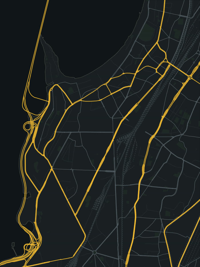
Street geometry © OpenStreetMap contributors · ODbL
Sea-facing Art Deco promenades, BDD stone blocks and coastal high-rises.
Worli Sea Face / Dr Annie Besant Road / S N Munje Road
This is a guide to the development world. Building and society names are fictional. Looking for a specific Founding Resident? Search the live directory and street heatmap.
Girangaon is one map in a much bigger plan: full Mumbai. These real-world corridors mark its edges. Expansion, story and online features will take time; the areas beyond this first map are not announced as playable.
Towards Bandra, Khar & Western Suburbs
Towards Matunga, Sion & Central Suburbs
Towards Byculla, Mazgaon, Fort & Colaba
Towards Breach Candy, Malabar Hill & Marine Drive