
Antop Hill
अँटॉप हिलHilltop staff colonies, stepped residential sectors and eastern harbour views.
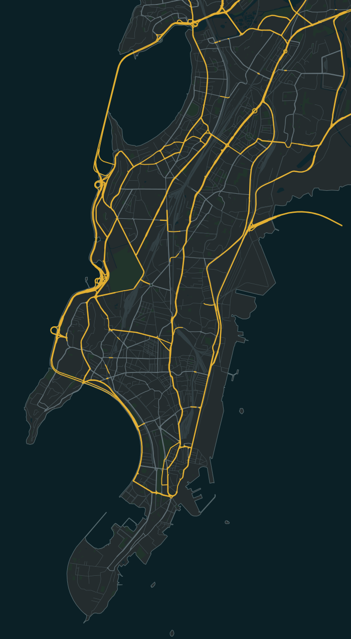
Antop Hill is one of the 40 neighbourhoods in the South Mumbai map of Bambaiya, an open-world Mumbai action game in development for Android and iOS by Matterward Labs. It sits in the map’s North Gateways region (Dadar–Bandra–Sion). The game has 518 of its buildings so far, and its main streets are Barkat Ali Dargah Road, Samadhan Road and Sheikh Misari Road.
Know your
neighbourhood.
On these streets
- Barkat Ali Dargah Road
- Samadhan Road
- Sheikh Misari Road
A few places to call home
Some of the fictional societies and buildings in this part of the game:
- Udaygiri Colony CHS
- Sankalp Sector Bhavan
- Mayur Hill Niwas
518 buildings in the game’s Antop Hill so far (19.0239° N, 72.8685° E). A guide to the game in development, not a property listing.
Meet Founding Residents in Antop HillMap data © OpenStreetMap contributors, as of 22 August 2026