Mazgaon
माझगावHarbour hills, dockyard walls, quiet garden slopes and old cooperative housing enclaves.
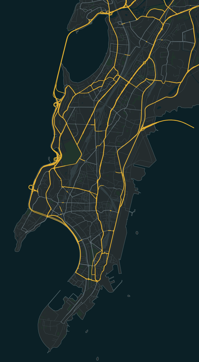
Mazgaon is one of the 40 neighbourhoods in the South Mumbai map of Bambaiya, an open-world Mumbai action game in development for Android and iOS by Matterward Labs. It sits in the map’s Mill Belt region (Girangaon). The game has 515 of its buildings so far, and its main streets are Dr Mascarenhas Road, Ramsheth Naik Road and M Pratap Chowk.
Know your
neighbourhood.
On these streets
- Dr Mascarenhas Road
- Ramsheth Naik Road
- M Pratap Chowk
A few places to call home
Some of the fictional societies and buildings in this part of the game:
- Dockside Krupa CHS
- Giriraj Hill Sadan
- Ratnagiri Darshan Court
515 buildings in the game’s Mazgaon so far (18.9697° N, 72.8406° E). A guide to the game in development, not a property listing.
Meet Founding Residents in MazgaonMap data © OpenStreetMap contributors, as of 22 August 2026