Sewri
शिवडीEastern mudflats, warehouse wharves, harbour-bridge ramps and old koliwada pockets.
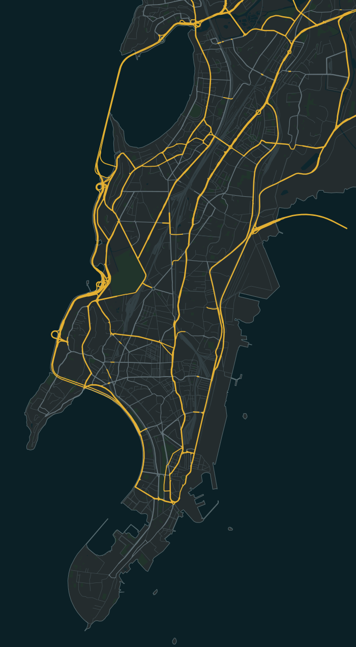
Sewri is one of the 40 neighbourhoods in the South Mumbai map of Bambaiya, an open-world Mumbai action game in development for Android and iOS by Matterward Labs. It sits in the map’s Mill Belt region (Girangaon). The game has 515 of its buildings so far, and its main streets are Rafi Ahmed Kidwai Marg, Sewri Cross Road and Eastern Freeway.
Know your
neighbourhood.
On these streets
- Rafi Ahmed Kidwai Marg
- Sewri Cross Road
- Eastern Freeway
A few places to call home
Some of the fictional societies and buildings in this part of the game:
- Bandar Darshan CHS
- Kokan Sagar Wadi
- Purandar Port Niwas
515 buildings in the game’s Sewri so far (19.0014° N, 72.8543° E). A guide to the game in development, not a property listing.
Meet Founding Residents in SewriMap data © OpenStreetMap contributors, as of 22 August 2026